

Manzana Creek
Story and photos by Adam Nuñez
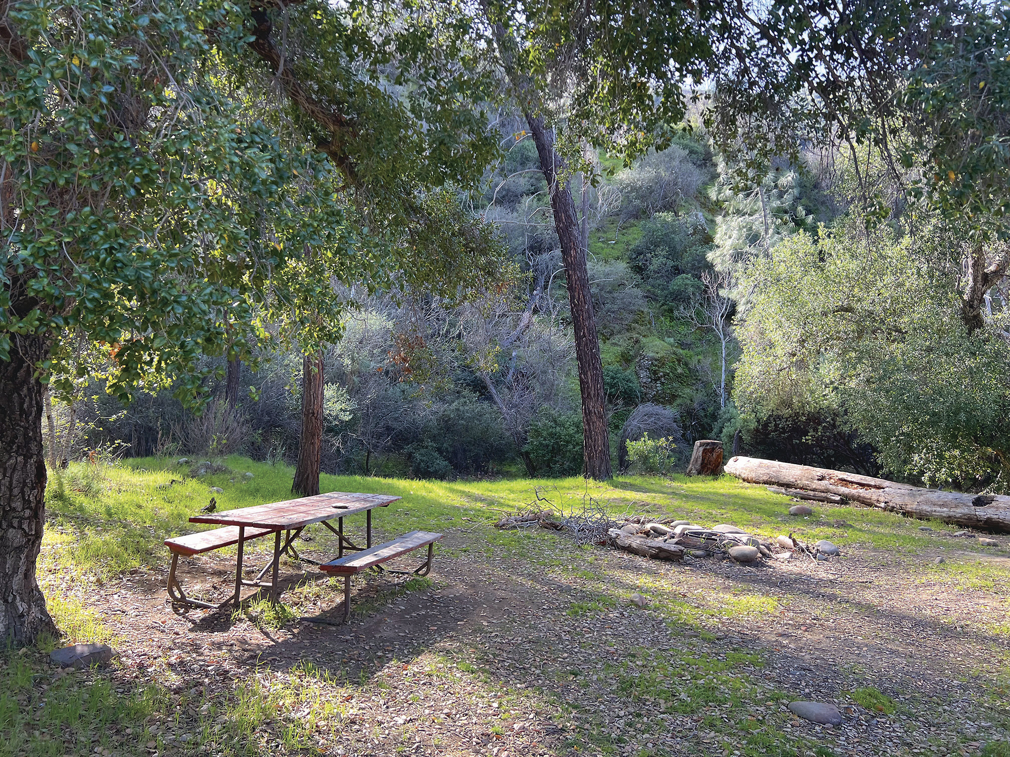
The Manzana Creek Trail lies entirely in the remote San Rafael Wilderness about 25 miles north of Lake Cachuma. With deep canyons, peaceful meadows, and many creek crossings, it beckons to hikers seeking adventure. One excellent destination is the historic Manzana Schoolhouse — an actual one-room schoolhouse built in the 1890s to accommodate about 25 students. It’s nestled on a small knoll in the Sisquoc River Valley. Keep in mind, this is a 20-mile round-trip excursion. But it’s well worth the effort! Not sure if you’re up for the entire 20 miles? There are three official camping spots along the trail with numerous others scattered about. Many of these spots have tables and iron-ringed fire pits.
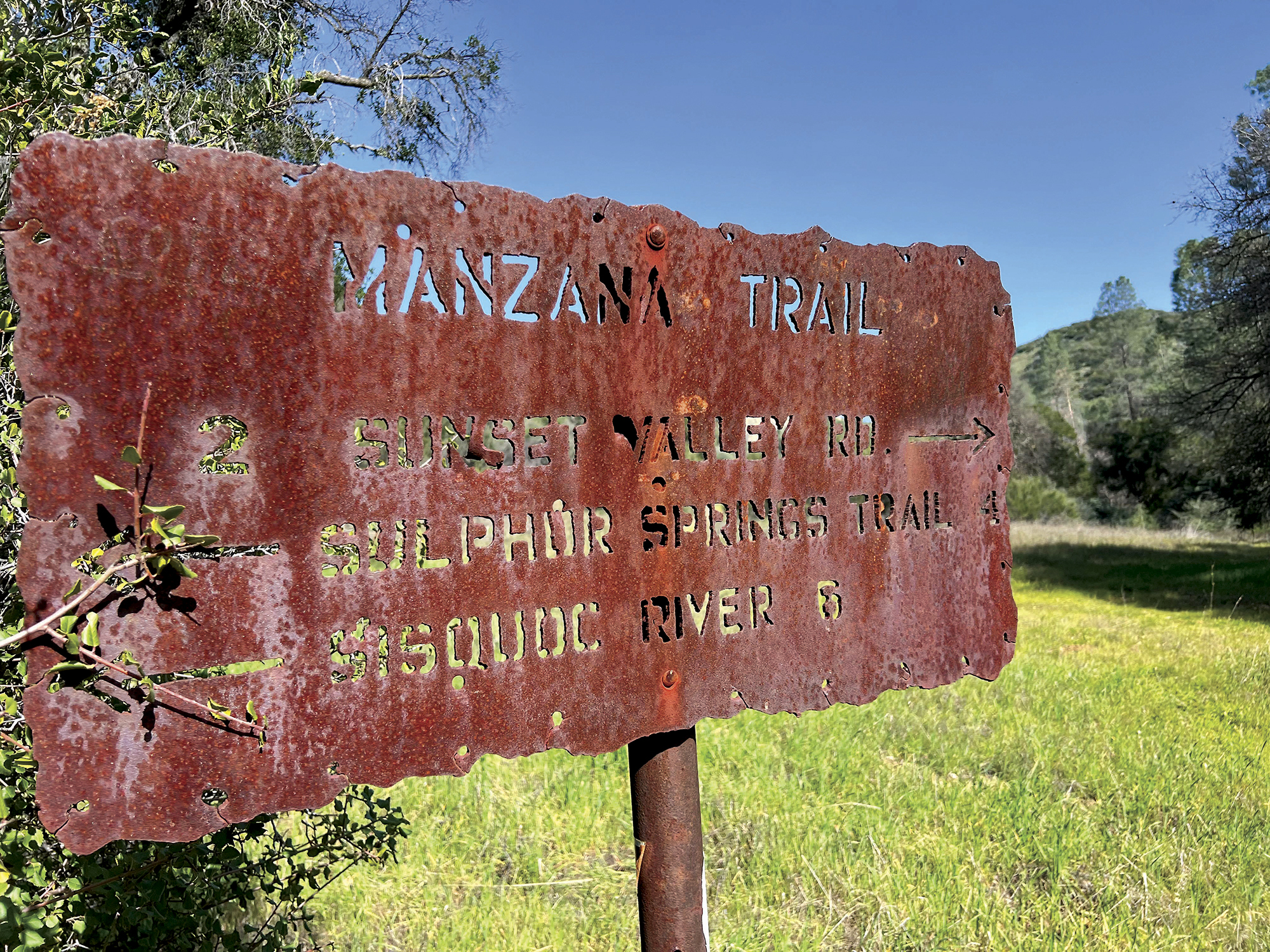
If attempting the entire route to the Schoolhouse, it’s wise to hike with a buddy, ensure you have all the necessary backpacking supplies, and be mindful of your skill level. The trail, maintained by Los Padres National Forest Service, is well-marked in most places; however, after our heavy winter rains, some parts of the trail have been washed out.
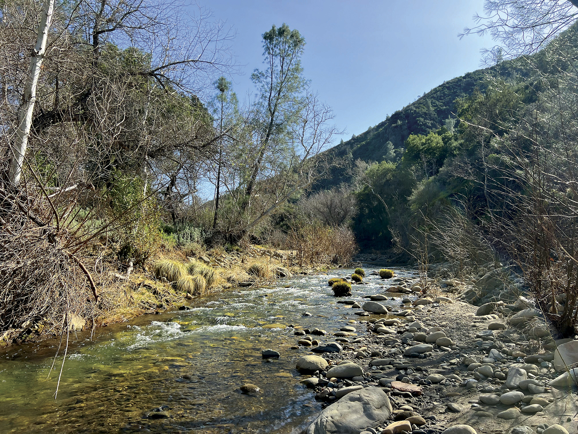
 The first two miles are mostly flat until dropping down into the canyon. From this point the entire trail follows the Manzana Creek. Potrero Camp lies at the bottom of the canyon and is the first official camp. Like every designed spot along this canyon, it’s located right next to the creek. It’s a perfect option for a first-time backpacking trip or just a full-day family getaway. Much of the trail is shaded, which makes hot days more bearable.
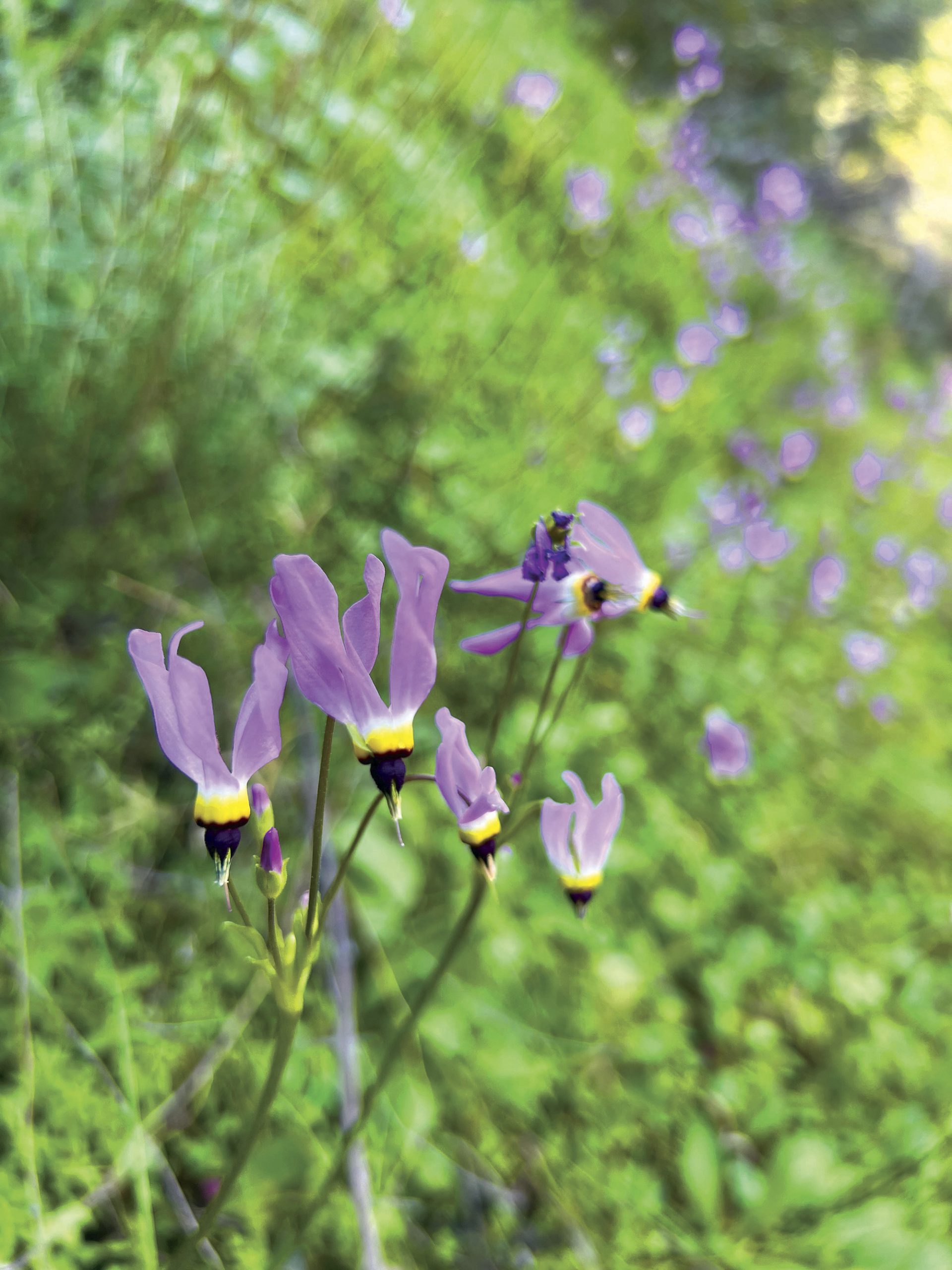
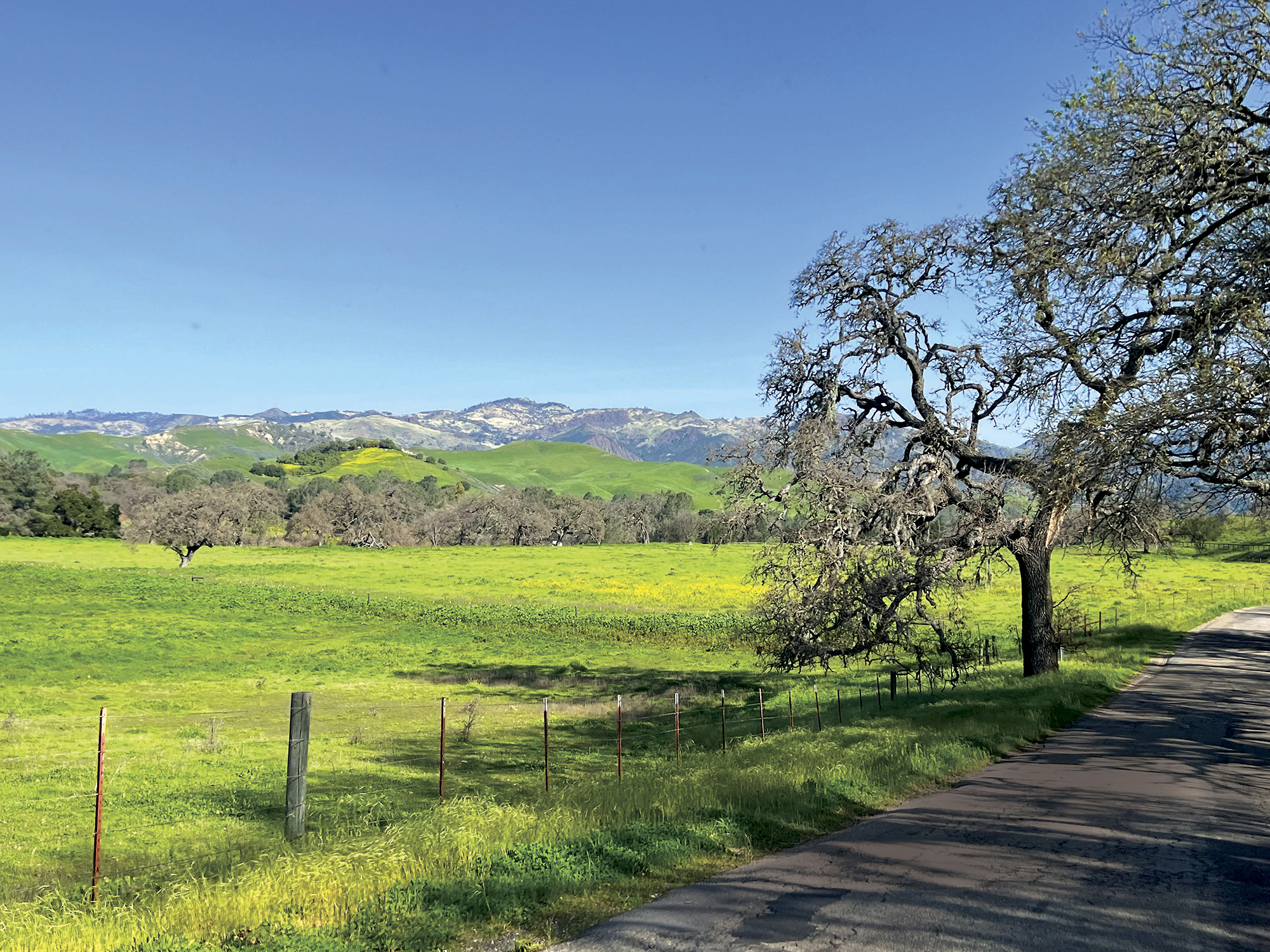
And springtime is the perfect time to enjoy hiking or camping in the Los Padres National Forest. The creeks are full, the hills are lush, and the wildflowers are abundant.
The next two miles are pleasantly flat and consist mostly of green meadows with manzanita, oak, sycamore, and grey pine trees. The grey pines steal the show with their bluish grey color, long needles, and enormous cones of eight to 12 inches long. About three miles in you’ll pass Cold Creek Camp, the second official camping spot. You’re only roughly 30 yards from the creek and shaded by a large oak tree. The Forest Service was kind enough to leave a shovel along with the typical table and iron-ringed fire pit.
From mile four to six, there are a plethora of creek crossings, which sometimes makes trail navigation difficult. Technology is our friend here. The AllTrails smartphone app is quite reliable when it comes to this trail. Download “Manzana Schoolhouse via Manzana Trail” and make sure your phone or other GPS device is fully charged.
Around mile five looking northward (to your right), you’ll notice Castle Rock jutting 1,000 feet above the canyon floor. As a south-facing rock formation, this sandstone monolith gleams in the sunshine, standing like a sentinel over the next few miles of your journey. Castle Rock sits along Hurricane Deck, a long mountain range separating the Sisquoc River and Manzana Creek.
Around mile seven, the trail turns north and deeper into San Rafael Wilderness. You’ll pass by Dabney Cabin, built in 1914 by William Dabney as a private fishing and hunting retreat. By the 1930s it fell into disrepair but was later used as an outdoor education facility. It’s now designated as Santa Barbara County Historical Landmark No. 8.
Now that you’re deeper in the wilderness, you’ll actually see more signs of civilization, oddly enough. The trail widens with tire tracks, and you’ll see a few private property signs. Fun fact: Through the Wilderness Act of 1968, the San Rafael Wilderness was the first designated wilderness in California. Before this official designation, U.S. citizens under the Homestead Act of 1862 could homestead essentially on any piece of public property. There were rules and stipulations of course, but this was the true Wild West. A few homes were “grandfathered” in, since the wilderness laws only prohibit the construction of new homes post-1968.
Around mile eight, you may come across the local horse and two donkeys. They are obviously comfortable around hikers — they trotted up to me then proceeded to rub their noses on my shirt. No doubt they are owned by one of the local human residents. Be kind to the “wildlife” and always be respectful by staying off private property!
If you made it all the way to Schoolhouse, congratulations! You’ve successfully journeyed to Santa Barbara Country’s Historical Landmark No. 2. There are six designated camping spots here, and even a toilet with a view (sorry, photo not included)! In the late 1890s the school hosted around 25 students, when about 200 people settled in the Sisquoc River Valley. The valley is a main feature of the San Rafael Wilderness, cutting a roughly 100-yard-wide and 33-mile-long slice through the mountains. At its eastern end, it eventually empties into the Pacific Ocean near Santa Maria. It’s hard to imagine 200 people attempting to live permanently in this valley. It’s remote, rain is inconsistent, and suitable land for planting crops is limited.
Today we may view these early settlers as crazy. But throughout the 1800s homesteading was common. Millions of people migrated to the West looking for land and a better future. Eventually, however, even the rough and tough settlers of Sisquoc Valley learned that the land was too stubborn to be domesticated. After a particularly dry summer in 1902, the school permanently closed after enrollment dropped to one student. Luckily for us, the land is forever preserved for our enjoyment.
A Few More Quick Tips:
- Whatever you pack in, pack out.
- Bring a comfortable pair of shoes you don’t mind getting totally soaked and still hiking in. Better yet, bring two pairs of shoes/sandals.
- The temperature can heat up. Always bring plenty of water, and if you’re backpacking don’t forget a water filtration system. One thing that will temper the heat are the many water crossings. I lost count after 15, but if you decide to journey all the way to the Schoolhouse, you will cross the creek an estimated 50 times. With such a wet winter, the water level could be ankle to knee deep through April or even May. For creek water levels, check out USGS water data at waterdata.usgs.gov.
- Those annoying black flies — scientifically known as Simuliidae — that you find all around the Los Padres National Forest also like this trail. They’re not bad in the morning and evening, but a few hours in midday is their most active time. Bug spray definitely helps.
- Leave your fishing pole at home as fishing is strictly prohibited. Sections of the Sisquoc River contain the endangered steelhead trout.
- Hikelospadres.com is an excellent resource for learning more about this trail and many others in the area.
- Make sure to call the Santa Lucia Ranger District in Santa Maria before heading up for road and trail conditions: (805) 925-9538. They are open Monday to Friday 8 am to 4:30 pm.
One final note: The road leading to the trailhead is windy, bumpy, and in some parts unpaved and quite steep. It’s only 25 miles from Lake Cachuma, but it’s a one-hour drive. A four-wheel drive vehicle is not required (I made it in my 20-year-old Honda Accord), but a reliable car will give you peace of mind. The drive is beautiful, too, with sweeping views of the Santa Ynez Valley.
Whether you make the drive for a one-mile hike or tackle the entire 20 miles to the Schoolhouse and back, the Manzana Creek Trail provides an adventurous and beautiful outing.